District of
Märkisch-Oderland
District of
Märkisch-Oderland
District of
Märkisch-Oderland
District of
Märkisch-Oderland

District of
Märkisch-Oderland
District of
Märkisch-Oderland
The district of Märkisch-Oderland is a dynamic economic area between the metropolis Berlin and the special economic zone Kostrzyn-Slubice in Poland. Via the A10 and the B1 as well as the regional transport and the Berlin local transport network, the district is connected in the best possible way and can fall back on a large skilled and labor force potential.
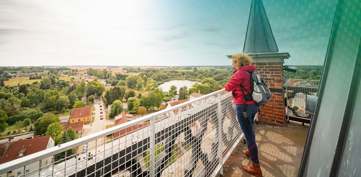
Well connected with the neighboring country
The district of Märkisch-Oderland is one of the easternmost German counties. Due to the long common border with the Republic of Poland, there are a variety of relationships at the level of the district, the municipalities, but also of associations and institutions.
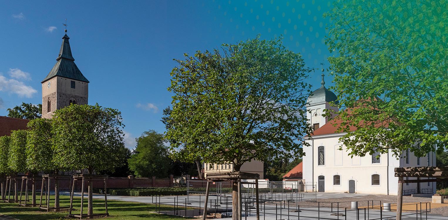
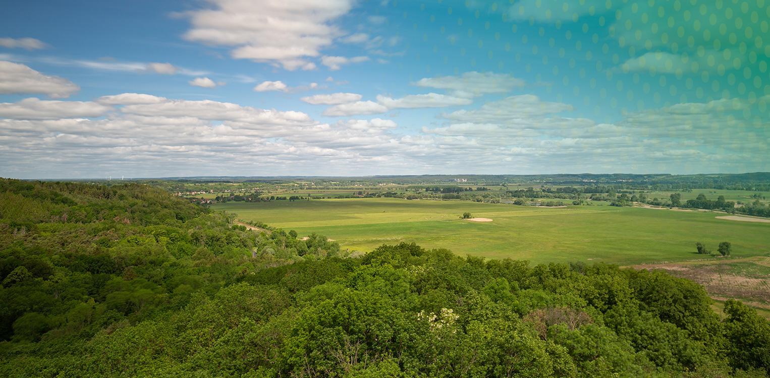
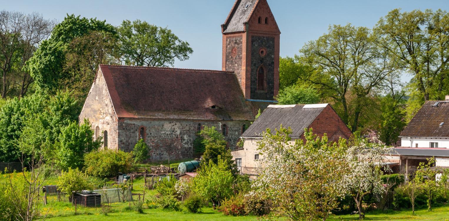
Rural Character
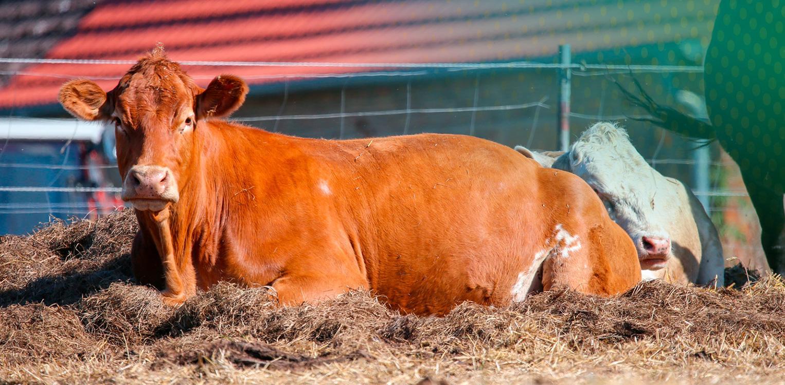
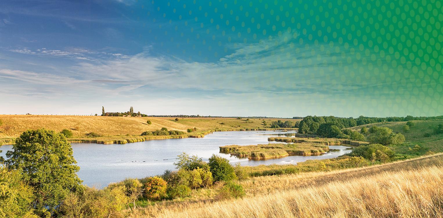
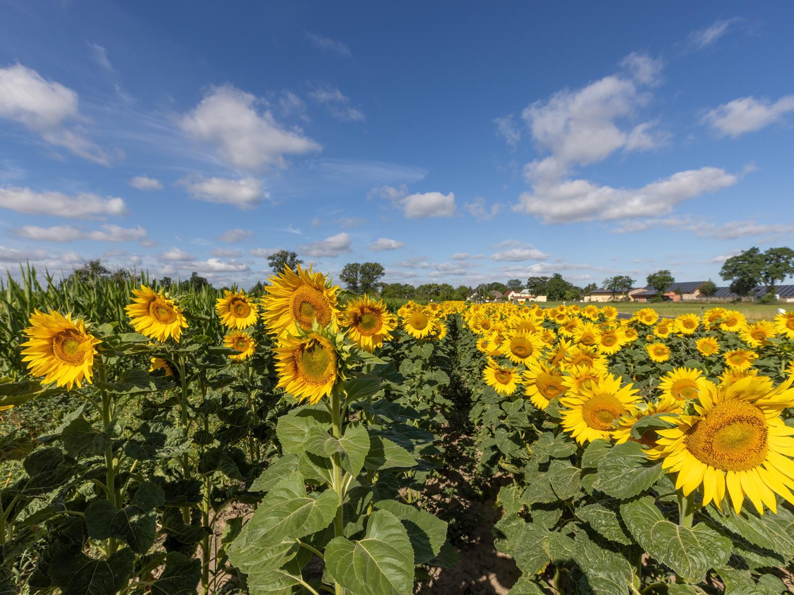
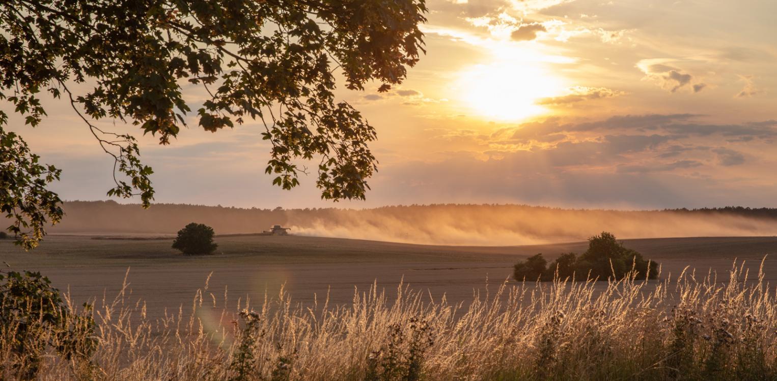
Of the district's total area of 2,158 square kilometers, 61 percent is agricultural land and 23 percent is covered with forest. It includes parts of the old landscapes of Upper and Lower Barnim, the Land of Lebus, and a small piece of the Neumark, most of which has been part of Poland since 1945.
The Höhenland belongs to the East Brandenburg Plate, on which the forest hill country of the Upper Barnim, Märkische Schweiz with Buckow and the Lubusz Plate lie. In addition, the district is characterized by the Oderbruch, the floodplain on the middle Oder River, which was drained and resettled in the 18th century by order of Frederick the Great. The colonists who settled here from the non-Prussian imperial territory as well as from Switzerland and Austria laid the foundation for the fact that the Bruch is still one of the most fertile agricultural landscapes in Germany today. Fruit growing in particular has a long tradition here.
Dynamic economic development
An almost 20 percent increase in GDP in the period 2015-2020, the continuous decline in the unemployment rate and a significantly lower proportion of unfilled apprenticeship positions in both Germany and Brandenburg - in the district of Märkisch-Oderland, the signs are set for growth.
(Source: Prognos Future Atlas 2022)
Solid population development
The Oderbruch and especially its margins were settled by people very early. The oldest finds date back to the Old Stone Age. There is evidence of continuous settlement for about 4,500 years.
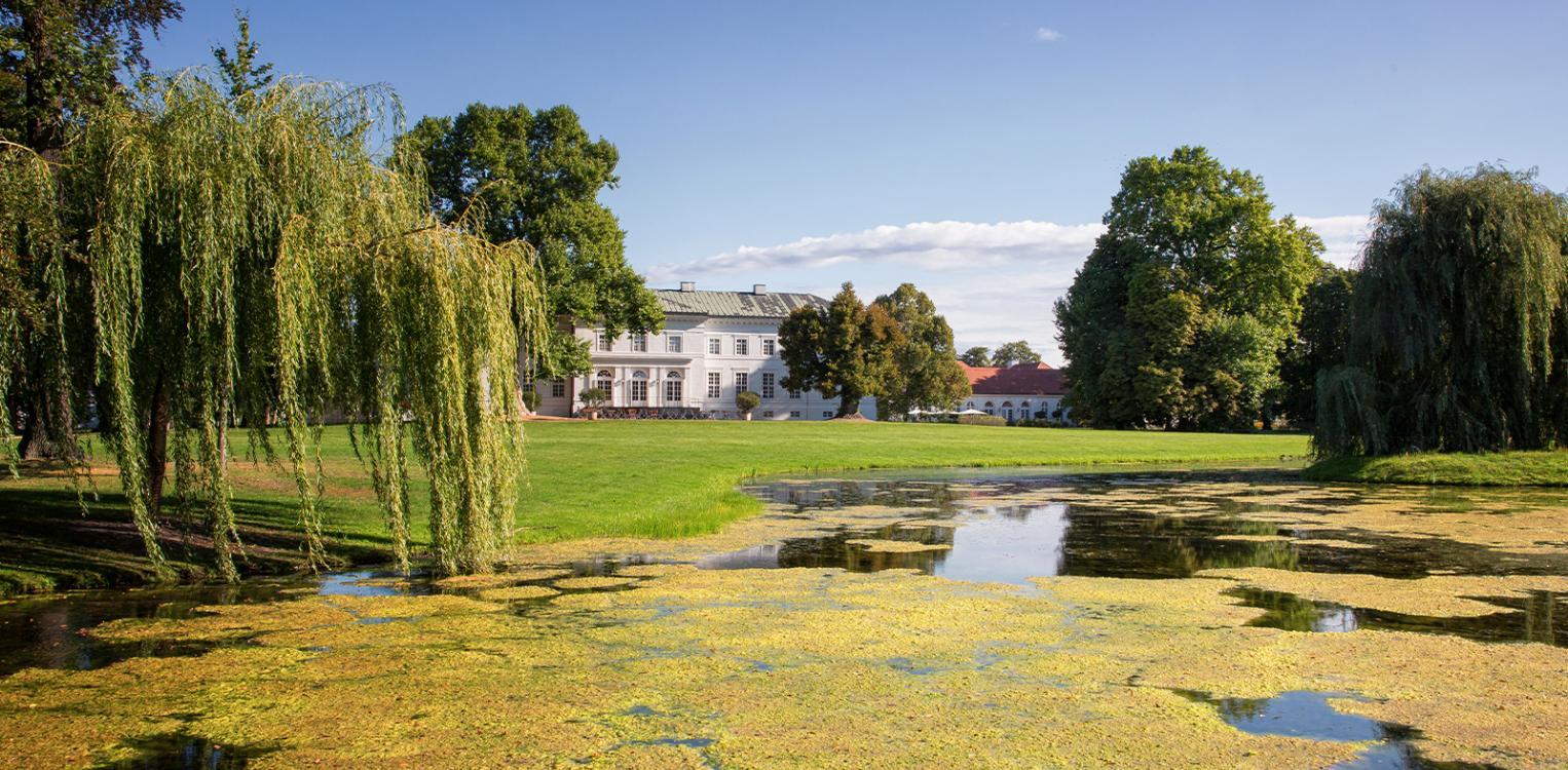
In recent years, the population in the county has grown steadily, reaching 200,000 by the end of 2022. The population density is 92.6 inhabitants per square kilometer. The district, which includes the district town Seelow, comprises 45 municipalities, including 8 towns such as the former residential town of Altlandsberg, the spa town of Bad Freienwalde and the medium-sized center of Strausberg.


District of Märkisch-Oderland
District town Seelow
Inhabitants 200,299 (as of 30.11.2022)
Area 2,158.67 km²
Puschkinplatz 12
15306 Seelow
www.maerkisch-oderland.de